A look at fun Japanese Maps


While I visited Japan back in July 2016, I picked up a bunch of different maps. Some because I actually needed them to get around, others because they were interesting.
Especially here in America, I never use physical maps unless I need to get to a really specific place. And I don’t see as many styles of maps. Everything is very by the book and uniformed. I mostly use a map app on my phone to navigate.
Maps show what is important
One of the fascinating ideas behind cartography is that maps always have a reason, but the bias isn’t always clear. For centuries maps were showing the world as they knew it, but they also showed lands that they thought existed but maybe did or didn’t.
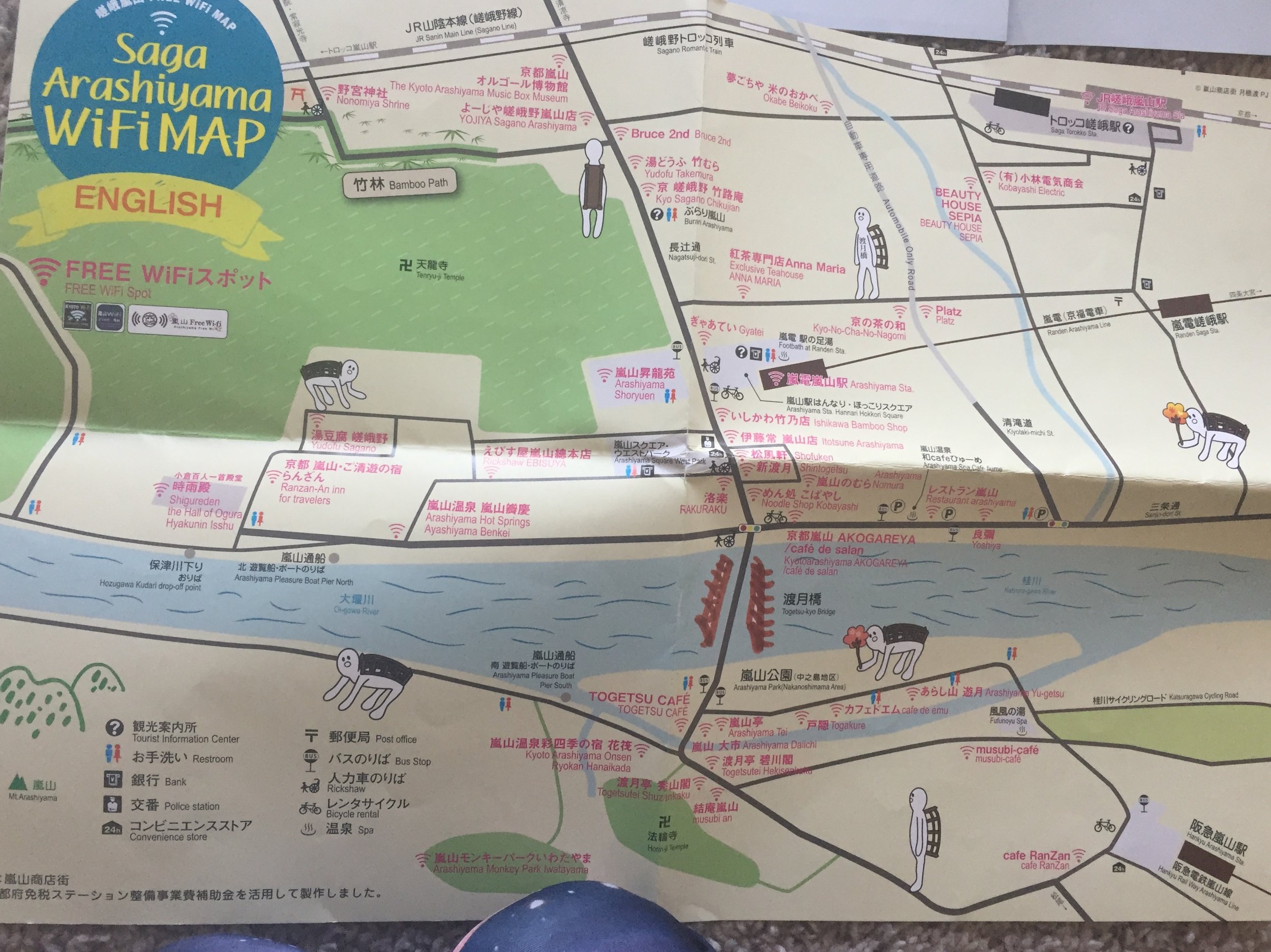
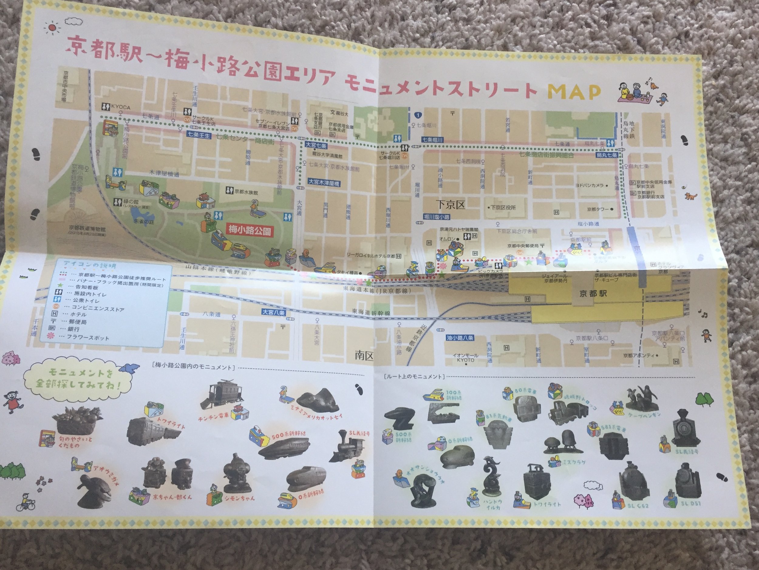
Odd Bridge Man
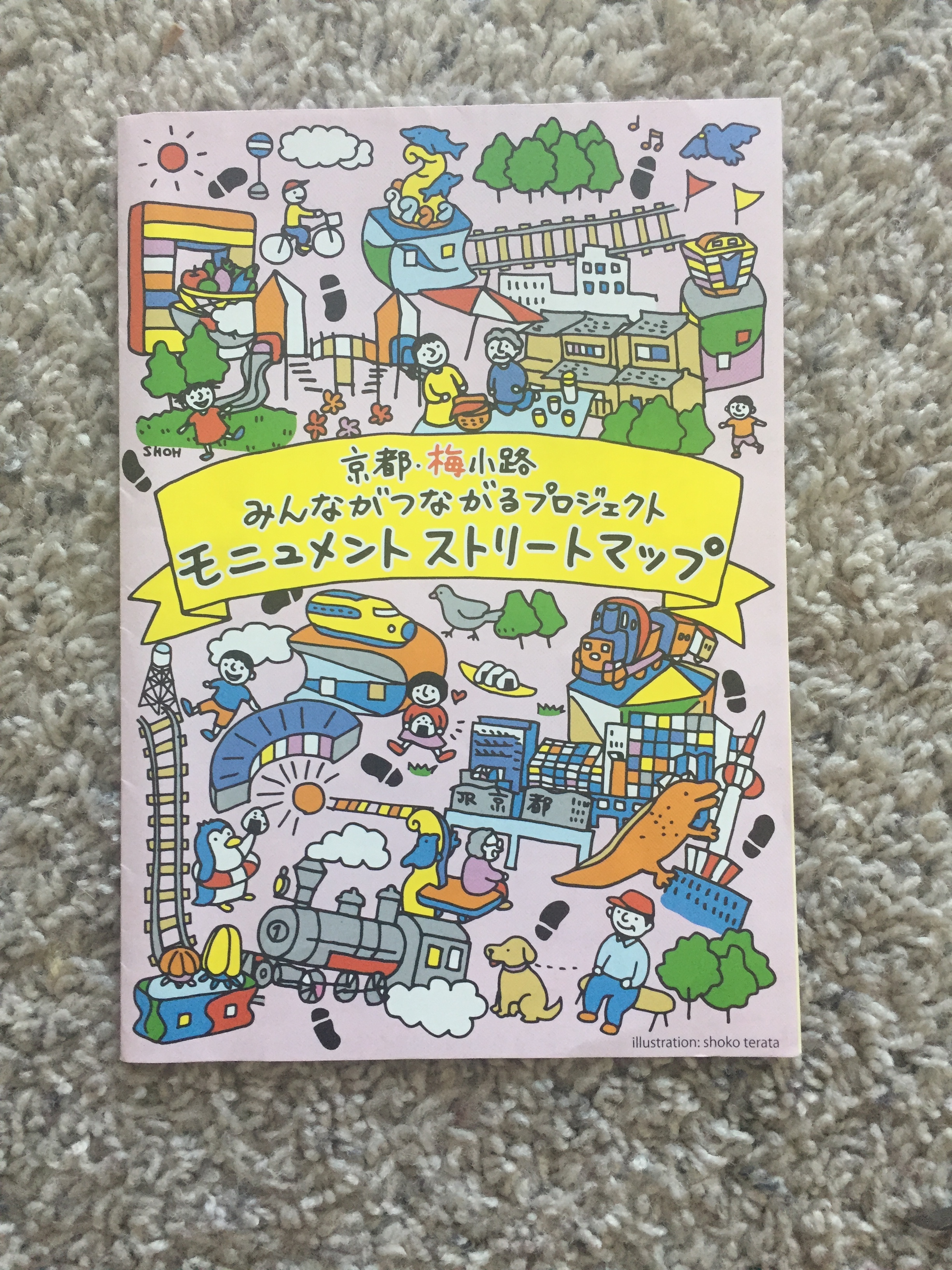
For example, two of the maps I got don’t post directions to anywhere. One is about where to get wifi in Kyoto, but only at specific locations. And another is about where to find train statues, but nothing else. I also love in the wifi map, there is an odd little man made of bridges walking around.
Maps distort reality
Anyone following a map knows that the map won’t always be a hyper realistic view of the world. After all, if maps show what is important and the bias are hard to tell, then it goes to say that you can’t expect a map to 100% be truthful. Maps display a flat, 2D dimension of our 3D world and are subject to creative flourishes.
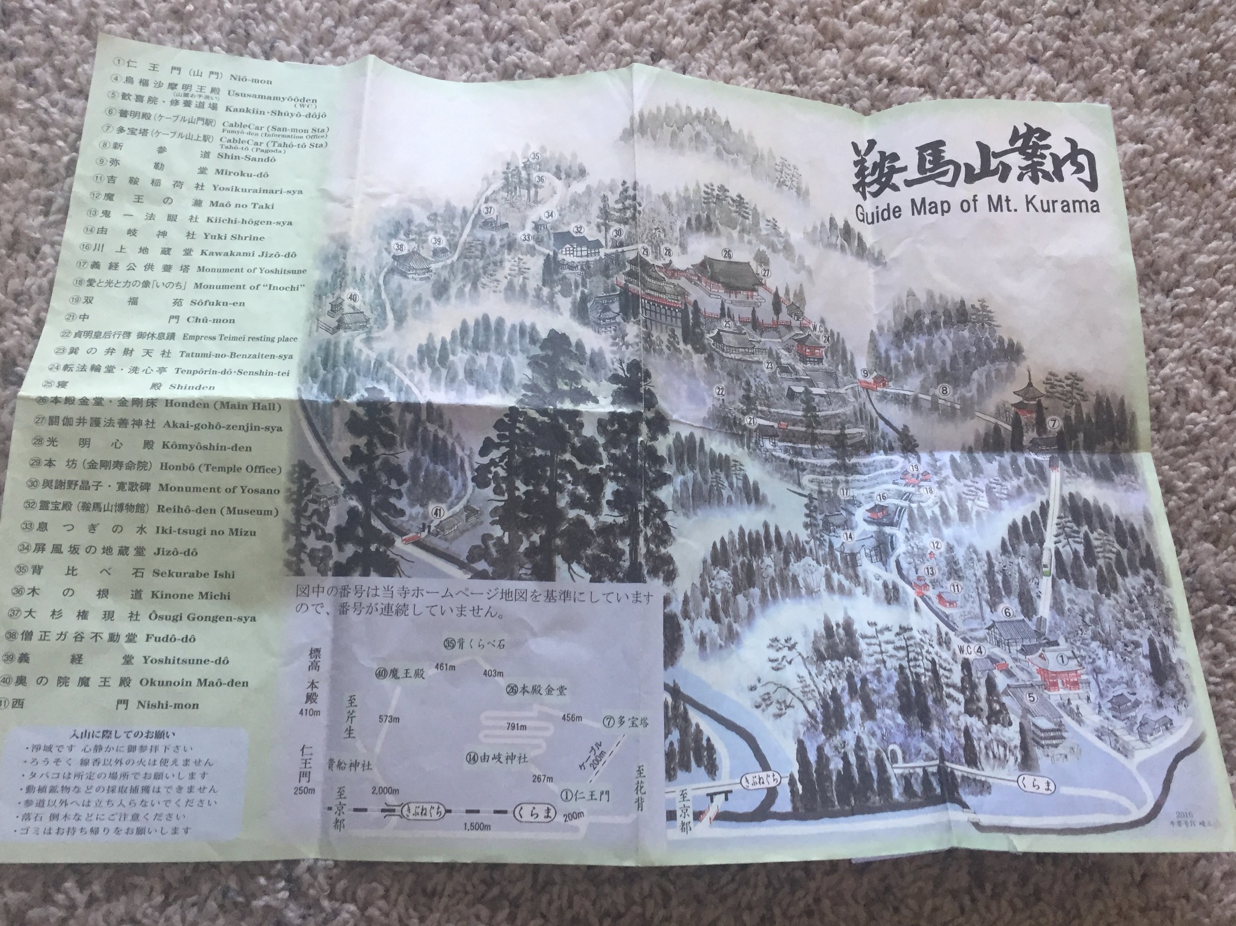
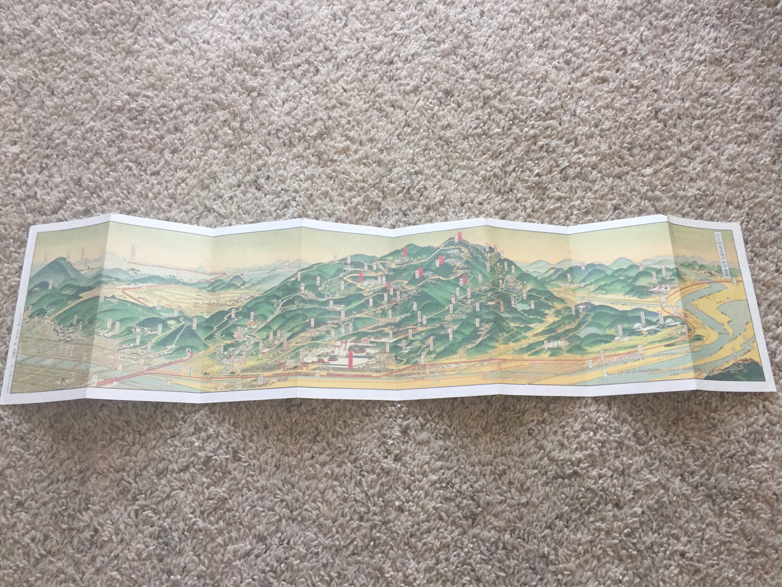
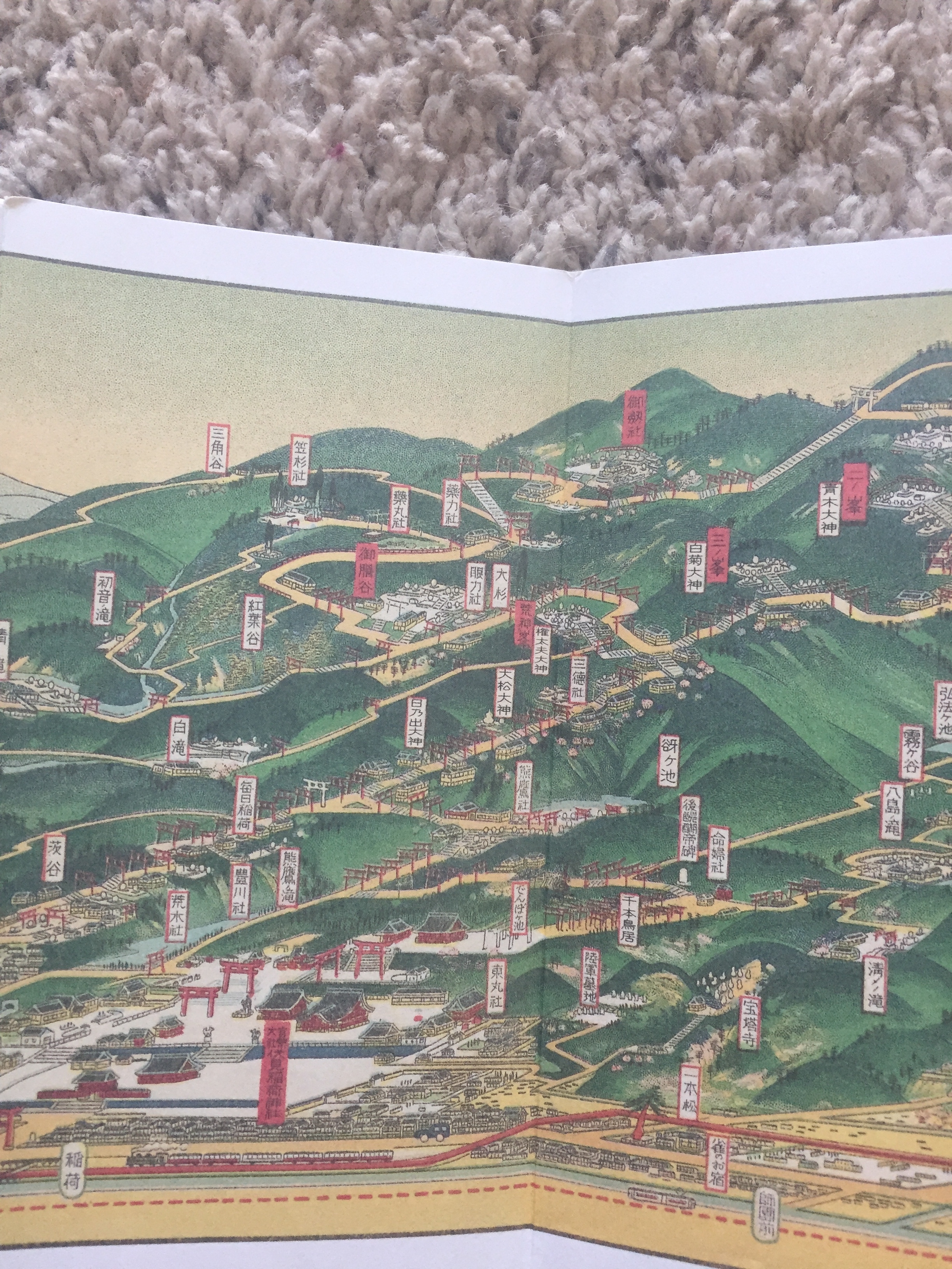
The first two maps I posted are supposed to help the viewer navigate Mt. Kurama and Mt. Inari, but they are made in very artistic view point.
Mr. Kurama stylized map
Mt. Kurama shows the back path of the temple to be long and winding, and for parts it was. But when I first climbed up it, it was really steep and narrow!
Mt. Inari shows the mountain soaring into the sky and everything else flat and squished in comparison. But not everything was really like that.
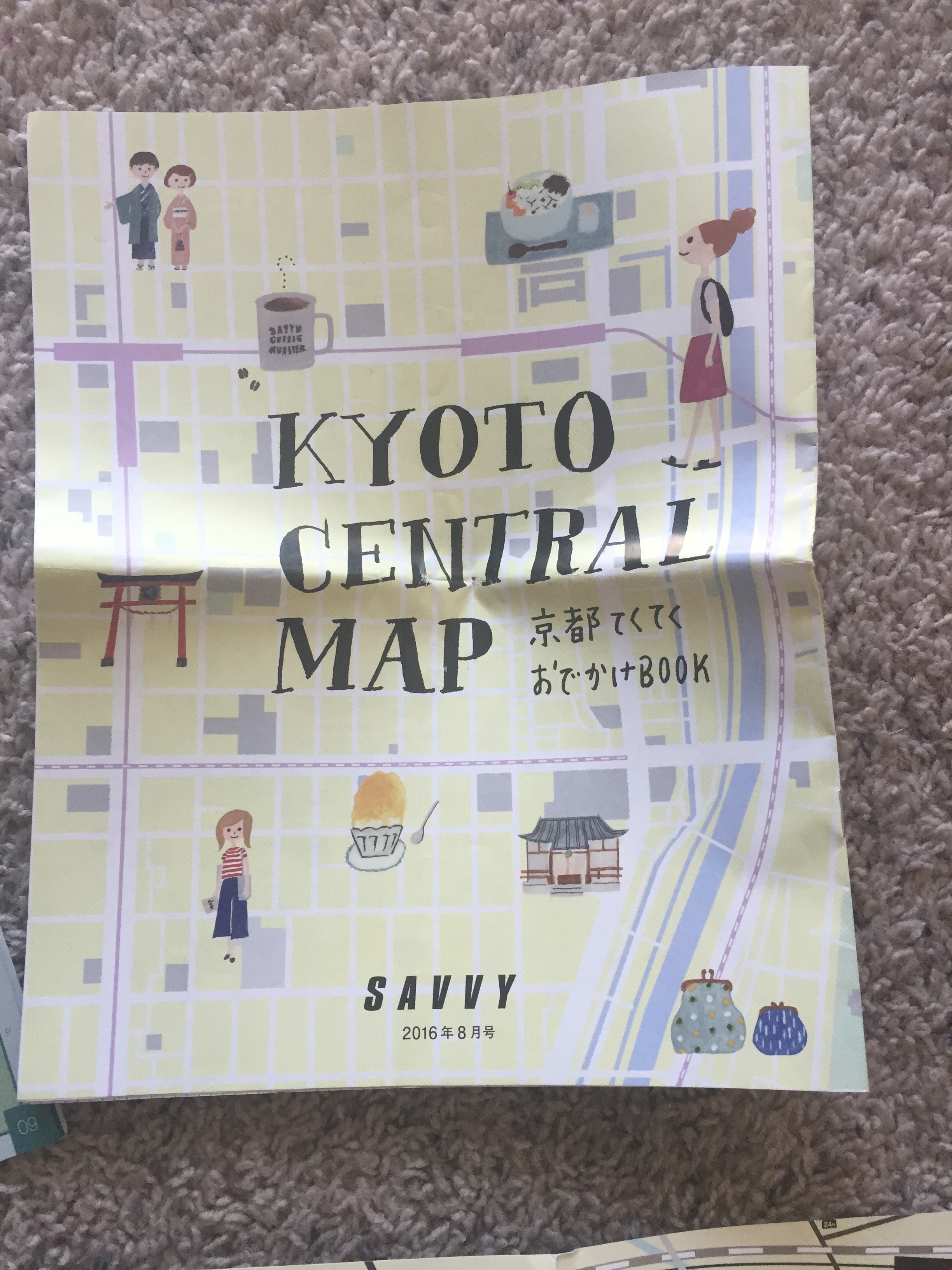
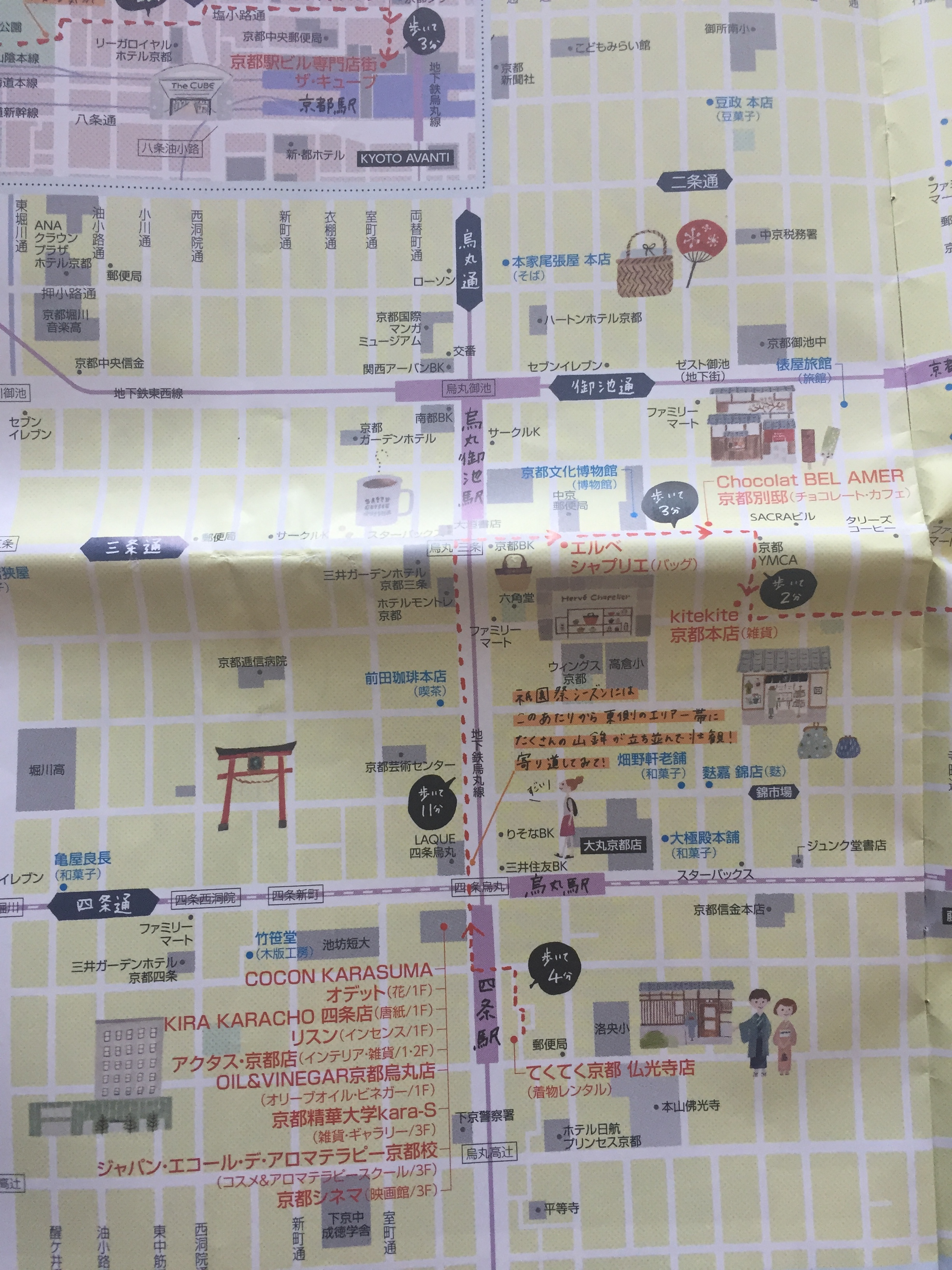
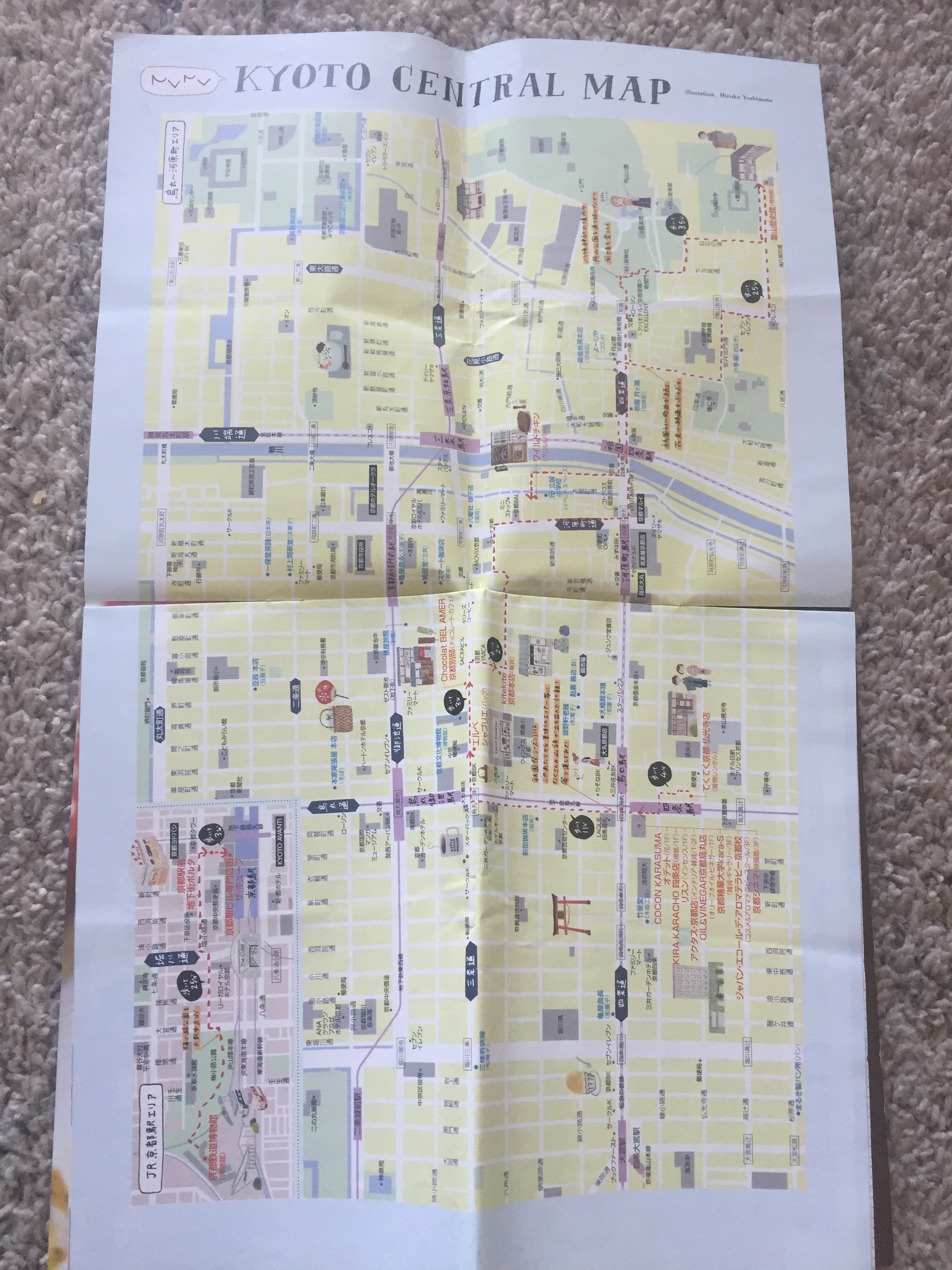
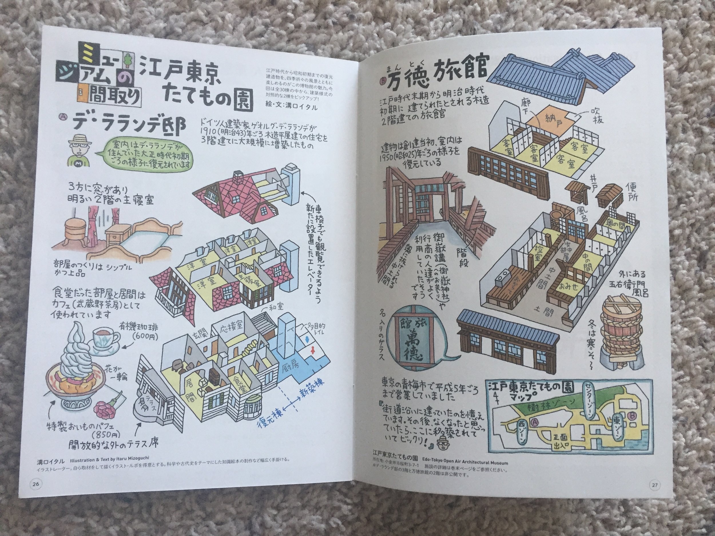
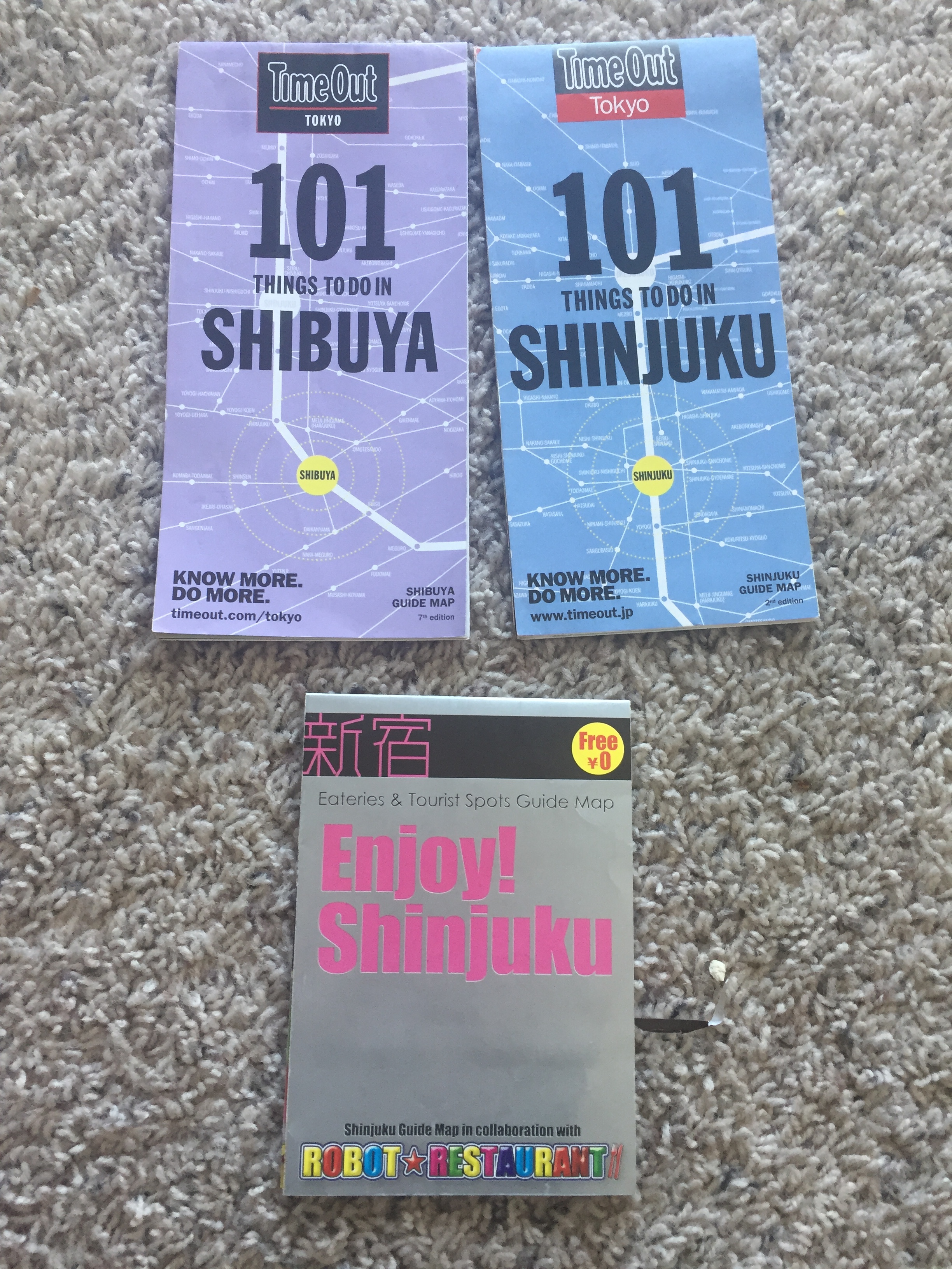
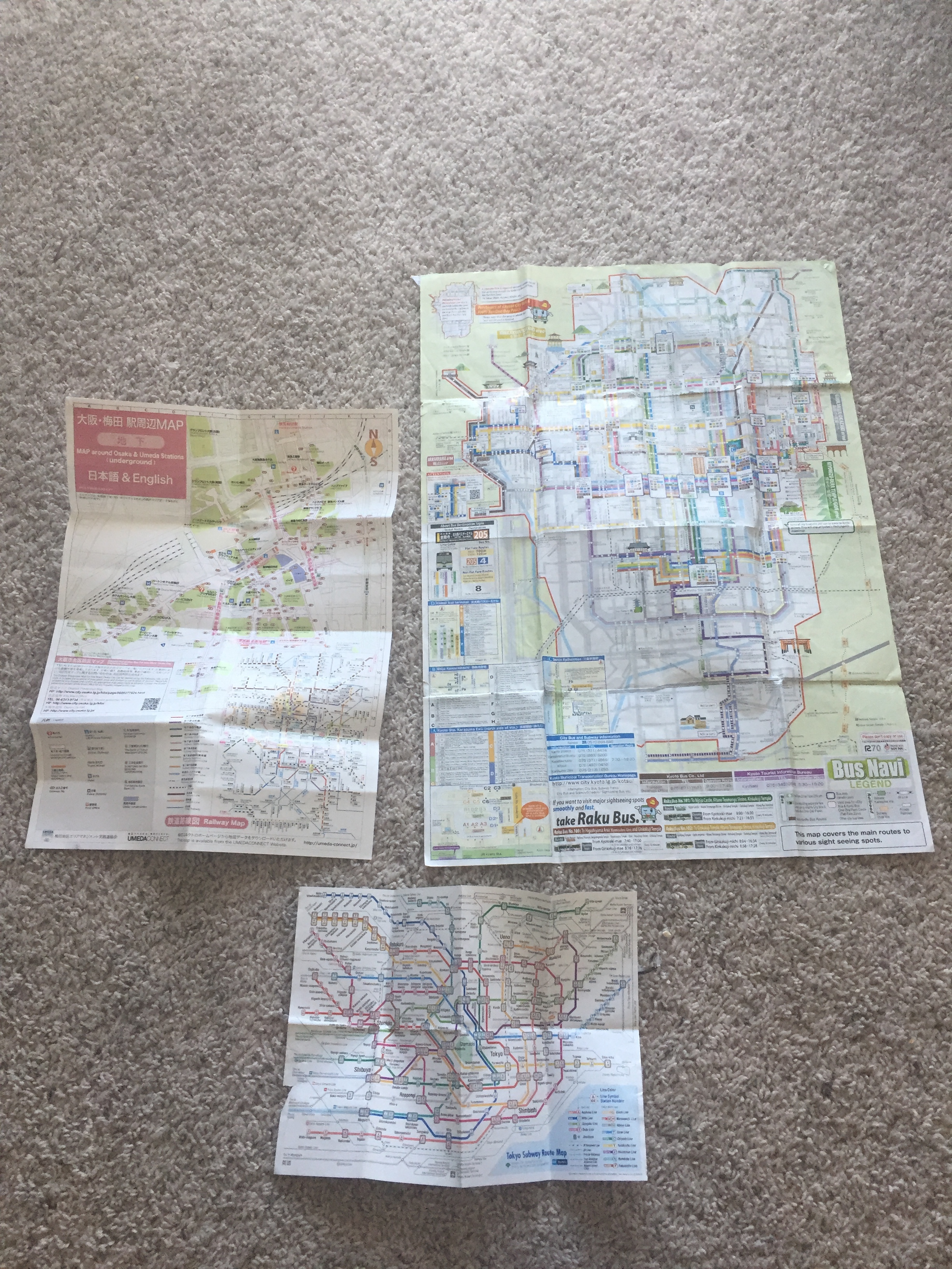
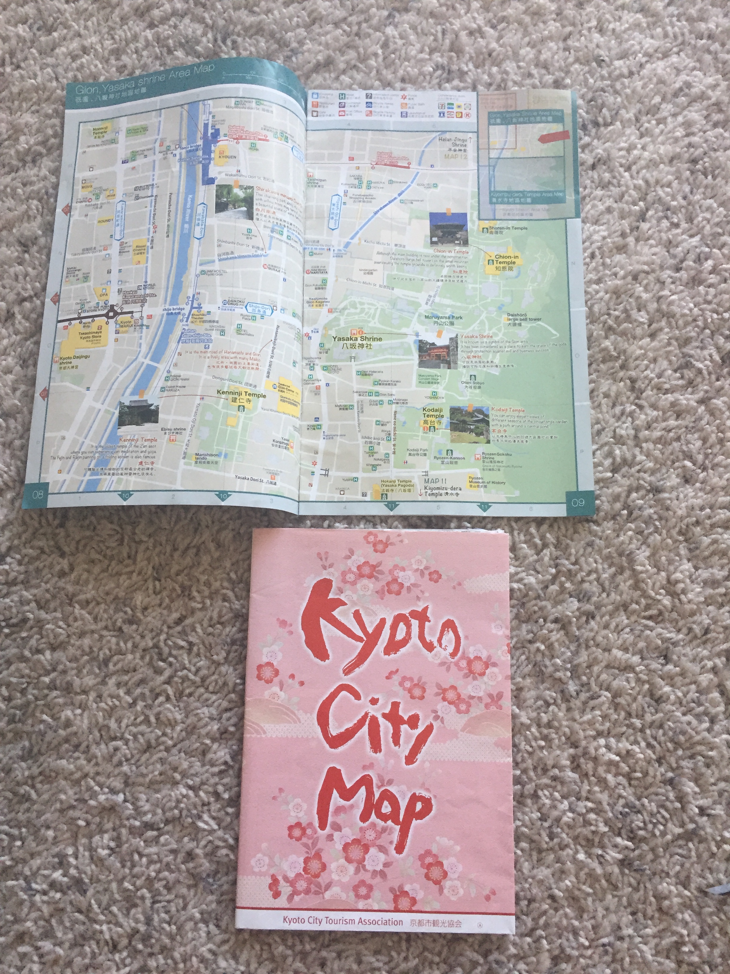
Tokyo Maps vs Kyoto Maps
I was always on the look out for more fun maps like the ones I found in Kyoto, but the Tokyo maps were more functional then artistic. But I would say depending on the culture and location, it makes sense that Tokyo would have more functional maps then Kyoto does which has a rich history filled with legends and art.
One of the things most striking about Japan’s cities is the lack of uniformity in their architecture and city layout. Streets haphazardly appear and blend into alleys seemingly at random and at times are only wide enough for a person to walk through at one time.
“Zoning has usually been avoided in Japan to support and encourage small businesses, resulting in what may be good for business but not for creating a pleasant visual environment. Because Japan us so land-poor, plots of land are sometimes unbelievably tiny; buildings of divergent sizes, styles, and ages are packed together on them in a visually dizzying mess.” (McKinstry, Modern Japan, 1998)
Although the lack of zoning can be annoying, it also results in that most everything a person needs to survive is within just a few minutes walk away. Japan has one of the most highly developed public transportation systems as well with light rails, heavy rails and commuter trains not only in Tokyo, but all over Japan as well. Just within Tokyo, one can find subways, overhead trains, street cars, bike rentals and bike paths, rickshaws, and highways. Most families only have one car if that.
Therefore, I think it makes sense that Japan has a large variety of maps available for their cities and other attractions to the area. If your zoning isn’t uniform like it is elsewhere, you won’t always be able to go where you might expect to find something. Unlike here in America, you won’t find miles and miles of residential areas.
Maps as art, not just functionality
I think that we have more freedom now to create maps like the ones I found in Kyoto. Where they help you get somewhere, but they are also designed to be beautiful and creative. That might help people want to collect maps more often and keep them around. And I think we can all use a little more fun and happiness in our lives, even if it comes from designing an everyday object like a map.
Resources used
The Map as Art: Contemporary Artists Explore Cartography by Katharine Harmon
The Power of Maps by Denis Wood
Kerbo, Harold R., and John A. McKinstry. Modern Japan. Boston, MA: McGraw-Hill, 1998. Print.
Carpenter, David B. "Urbanization In The United States And Japan." Studies In Comparative International Development 2.3 (1966): 37. Academic Search Premier. Web. 12 Nov. 2016.
Douglass, Mike. "The Transnationalization Of Urbanization In Japan." International Journal Of Urban & Regional Research 12.3 (1988): 425. SocINDEX with Full Text. Web. 12 Nov. 2016.